Mombasa · Stone towns
Fort Jesus, wall by wall
Begun by the Portuguese in 1593 and fought over for two centuries, the fort at the harbour mouth now holds a museum. Walk its walls slowly and they tell the story.
- The tide
- Tide hardly matters
- From Mombasa
- Mombasa island itself
- Kindest months
- Year round, early morning
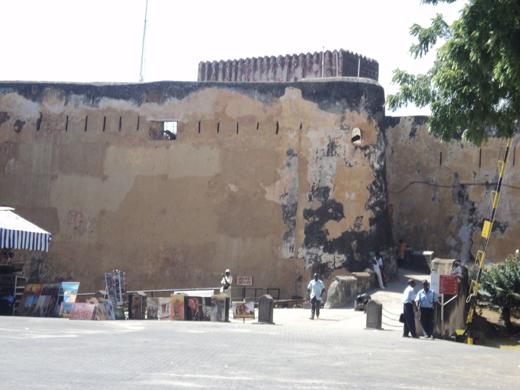
At the eastern edge of Mombasa island, on a coral ridge above the entrance to the Old Port, stands a fort of rough, ochre-coloured stone. Its walls are thick, its corners sharp, and its gun ports look out over the channel that every ship coming into the old harbour had to pass. This is Fort Jesus, and for two hundred years after it was built, whoever held it held Mombasa.
Today it is a museum run by National Museums of Kenya and, since 2011, a World Heritage Site. You can walk the courtyard, climb onto the walls and look down at the sea, and see what was found on the seabed below. It rewards a slow visit.
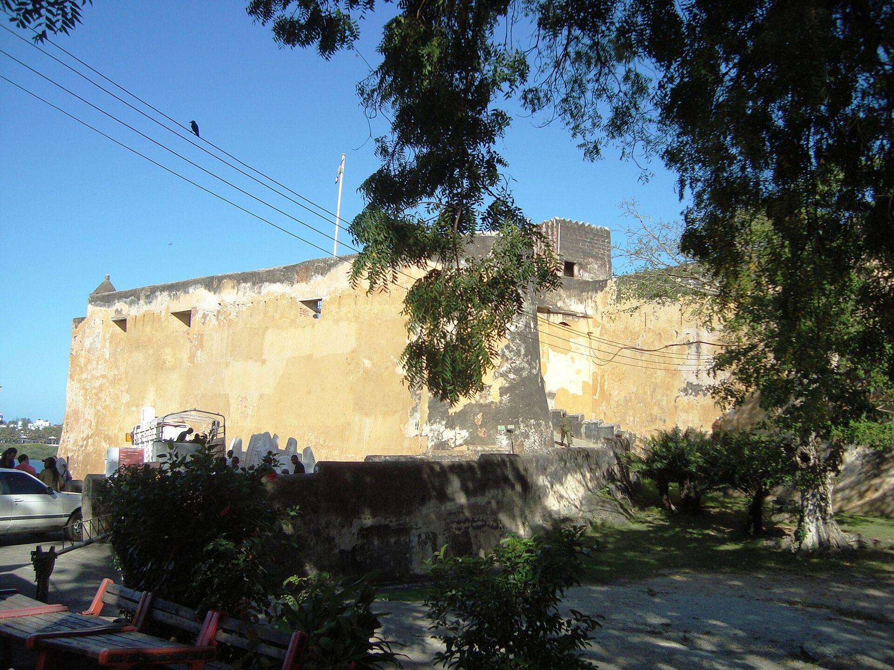
A Portuguese fort on a Swahili coast
When the Portuguese arrived on this coast at the end of the fifteenth century, Mombasa was already an old town, one of a chain of Swahili city-states living by trade across the Indian Ocean. Vasco da Gama passed by in 1498 and found a warmer welcome up the coast at Malindi. Over the following century the Portuguese fought Mombasa several times, and in 1593 they began building a fort to hold it for good.
The design is credited to Giovanni Battista Cairati, an Italian architect who worked for the Portuguese crown in the east. He laid it out following the newest military thinking of the time, with angled bastions at the corners so that defenders could fire along the face of every wall and leave no blind spot.
The shape of a man
Seen from above, the plan is often said to resemble a human figure lying on its back, with a head pointing towards the sea, arms spread at the bastions and legs at the landward side. It is easier to imagine on a plan than on the ground, but look for the model or aerial picture in the museum before you go round, and the walls will make more sense.
The siege and the changes of hands
The fort's history is a list of sieges. The most famous began in 1696, when forces of the Sultanate of Oman, by then the rising power on this coast, surrounded the fort. The defenders held out for close to three years, through hunger and disease, before the fort fell in 1698. During that siege a Portuguese frigate, the Santo Antonio de Tanna, sank in the harbour below the walls.
The fort's history is a list of sieges.
The Portuguese took the fort back briefly in the late 1720s, then lost it again. Through the eighteenth and early nineteenth centuries Mombasa was governed by the Mazrui, an Omani family who came to rule the town in their own right, before the sultans based in Zanzibar took firm control. Under the British protectorate the fort was used as a prison. It was later made a national monument, and the museum opened inside its walls.
What to look for inside
You enter through a gate on the landward side and come into a wide central courtyard. The buildings around it date from different periods, and part of the pleasure is seeing how each set of owners adapted the fort.
- The museum gallery displays pottery, beads and other finds from coastal sites, including imported ceramics that show how far the trade reached.
- The Omani house, built during the period of Omani rule, has carved doors and a small display of domestic life.
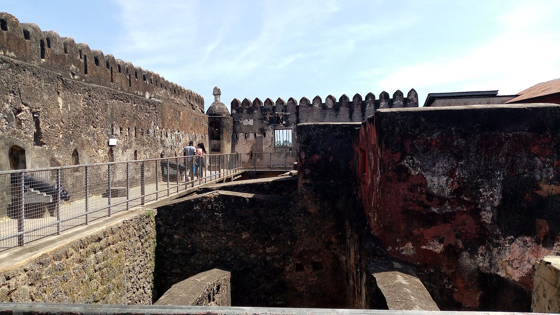
- The walls and bastions carry old cannon, and from the top you look straight down the harbour channel.
- Graffiti and inscriptions survive on some walls, among them drawings of ships scratched into the plaster.
The wreck below the walls
The Santo Antonio de Tanna was found on the seabed off the fort in the twentieth century and studied by underwater archaeologists. Objects raised from the site, from ship's fittings to everyday items carried by the crew, are shown in the museum. They give a rare close look at a ship of that period, and they make the siege feel less like a date and more like a place where people lived and died.
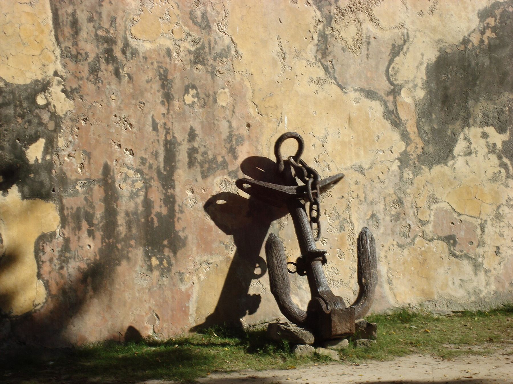
Walking the walls
The best way to understand the fort is to climb up and walk round the top. Go slowly. Notice how thick the walls are, how the bastions jut out so that each covers its neighbour, and how the ground falls away towards the sea on one side. Then look out at the channel and imagine a sailing ship working its way in under those guns.
From the seaward walls you can also see how the fort and the town fitted together. The Old Town lies just to the north, its roofs and minarets close below, and the Old Port opens beyond it. In a siege the fort could be supplied from the sea as long as ships could reach it, which is why control of the channel mattered so much, and why the wreck lies where it does.
On the landward side the ground is higher and flatter, and this was the direction from which attackers could bring guns close. The bastions on that side are the most heavily built. A deep ditch was cut into the coral rock in front of the walls, and parts of it can still be traced around the outside of the fort.
The walls are uneven in places and edges are not always fenced, so watch your step and keep children close. Shade is limited up top, and the stone holds heat through the afternoon; morning is the comfortable time, and the light on the walls is softer.
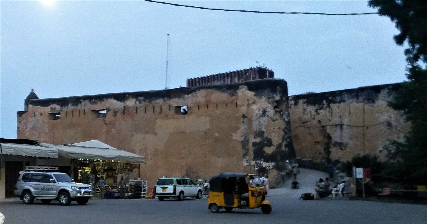
Before you set off along the shore
The fort is open daily, but hours and entry fees are set by National Museums of Kenya and change from time to time, so check before you go. Guides offer their services near the entrance; if you take one, agree on the fee first. Photography of the buildings is generally allowed, but ask if you are unsure.
Give yourself at least two hours, more if you like to read every label. Bring water and a hat for the walls, and wear clothes that cover shoulders and knees if you plan to walk on into the Old Town afterwards. The fort can be busy with school groups on weekdays, which is cheerful but noisy; early in the day is usually quieter.
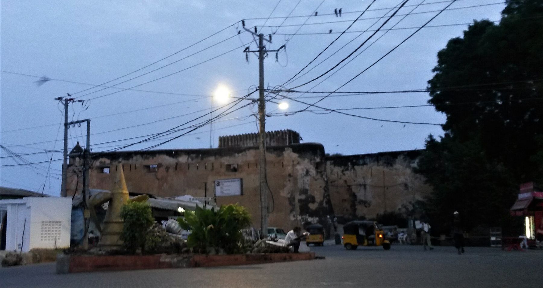
Fort Jesus sits at the edge of the old town, so the natural thing is to walk on from the gate into the lanes. The story Mombasa Old Town on foot starts right here. For the larger picture of how this coast's towns were built and traded, read Swahili doorways and what is carved on them, and for the ships that came and went on the monsoon winds, dhows, then and now.
Every photograph here was shared under an open licence; the photographers are named on the pictures-by page.