North coast · Shoreline
The coast road north from Mombasa, creek by creek
North of Mombasa the coast is cut by deep tidal creeks. The road crosses them one after another, and each bridge opens a view of green water and mangroves.
- The tide
- Tide hardly matters
- From Mombasa
- About 55 km north to Kilifi
- Kindest months
- Any month, dry mornings best
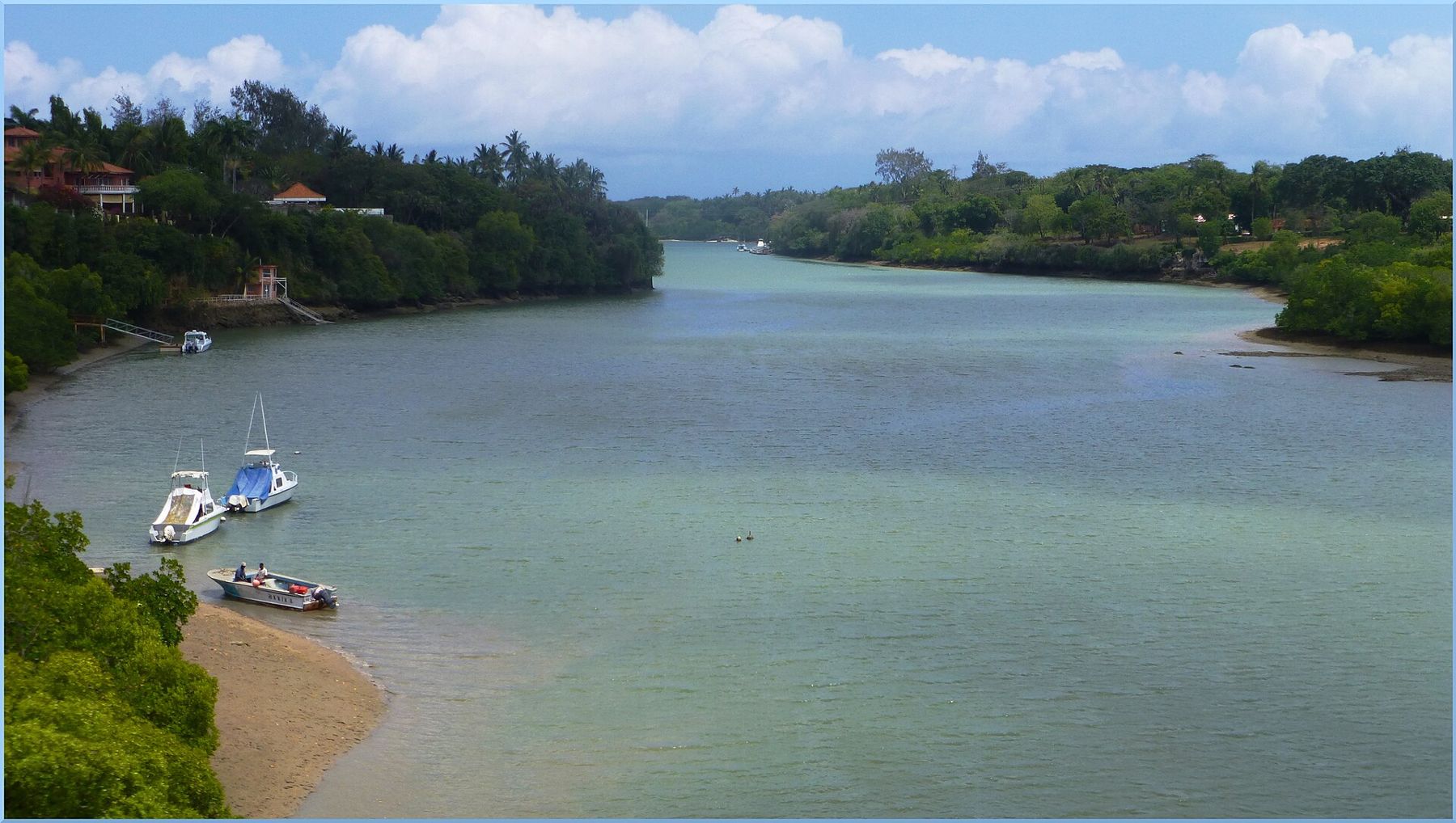
Drive north out of Mombasa and you soon notice something about this coast: the land is broken by long arms of the sea. These are tidal creeks, drowned river valleys reaching inland through the coral rock, lined with mangroves and filled and emptied twice a day by the tide. The road north crosses them one by one, and the crossings are the landmarks of the trip.
This is a road to travel rather than a single place to see. Take it slowly and stop where you can, and the creeks show how the coast is put together.
Leaving the island: Nyali bridge
Mombasa is an island, so every road out begins with a crossing. To the south it is the Likoni ferry; to the north it is the Nyali bridge over Tudor Creek, which links the island to the mainland suburbs of Nyali. Traffic here can be heavy at the start and end of the working day, and the first stretch north is busy and built up, with malls, roundabouts and suburbs reaching up the coast road. Give it time.
Along this first stretch the beaches of Nyali and Shanzu lie just off the road to the east, hidden behind houses and walls. You catch glimpses of the sea between buildings, but the road itself keeps a little inland, as it does for most of the way north.
Mtwapa Creek
The first big creek is Mtwapa, a little way north of the city. The road crosses it on a high bridge, and looking inland from the crossing you see a broad sheet of green water winding between wooded banks, with small boats at anchor and mangroves along the shore.
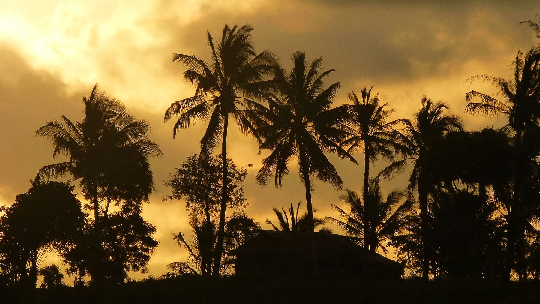
Mtwapa town itself is busy and has a lively nightlife. The creek is the reason to stop, and the best of it is seen from the water or from the banks at low and high tide, when it changes completely.
Ruins in the forest
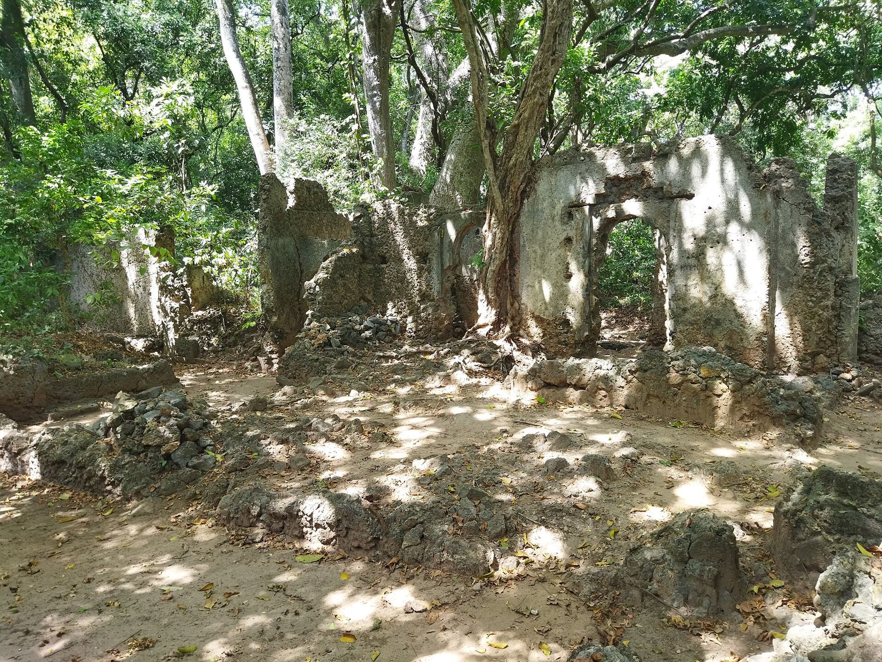
Near the shore north of Mtwapa Creek lie the ruins of Jumba la Mtwana, a small Swahili settlement of coral-stone houses and mosques in coastal woodland, generally dated to the fourteenth and fifteenth centuries. It is one of several such sites along this road, a quiet place of walls and doorways among baobabs and other trees. It is managed as a national monument; check opening times and fees before you go.
Takaungu
Further north, a side road leads down to Takaungu, a small old town on a creek of its own just south of Kilifi. It has a mosque, a few old houses and a waterfront where boats lie on the mud at low tide. In the nineteenth century it was linked with the Mazrui family, who moved here from Mombasa during the struggles over that town. Today it is quiet and residential. If you go, dress as you would in Mombasa Old Town and be a respectful visitor in a place where people live.
North coast · Stone townsWalking the lost streets of GedeThe Kilifi bridge and Kilifi Creek
Kilifi Creek is the grandest of these inlets: a deep, wide channel running far inland, with steep wooded banks and calm water. For many years traffic crossed it by ferry. A long bridge now carries the road high over the creek mouth, and the view from it, inland up the creek and out across the open sea, is one of the best on the whole road.
Kilifi town lies on the north bank, a market centre with the usual buses and matatus, banks and shops. On the south bank, close to the bridge, are the ruins of Mnarani, with the remains of mosques and tombs on the slope above the creek, generally dated from about the fourteenth to the seventeenth century. Like Jumba la Mtwana, Mnarani is managed as a national monument and is worth an hour for the view as well as the stones.
Kilifi Creek is also good water for small boats and for swimming from its sandy edges near the mouth, though currents run strongly on the tide there. Ask locally before you swim, and stay out of the channel itself.
Where the road meets the sea again
Beyond Kilifi the road runs inland of the shore for a while, through scrub and farmland and past the edge of the Arabuko-Sokoke forest, before the turnings for Watamu and Mida Creek and then the run into Malindi. Mida is another creek, but of a different character, shallow and wide and full of birds; read Mida Creek on the falling tide. For the reefs off Watamu, see Watamu's marine park from the beach.
Buses, matatus and driving
Long-distance buses and matatus, the shared minibuses that carry much of Kenya's road traffic, run up and down the coast road through the day, and Kilifi and Malindi are major stops. They are cheap and frequent, but can be crowded, fast and loosely timetabled; keep valuables close and ask at the stage where each vehicle is going. Driving yourself, watch for speed bumps, pedestrians, cyclists and animals, and avoid the road after dark when you can.
The creeks are the old highways of this coast, and the ruins along them are the towns that used them. To see what a Swahili town of this period looked like in full, walk the lost streets of Gede.
Every photograph here was shared under an open licence; the photographers are named on the pictures-by page.